Property Record
5315 Windward Pky, Alpharetta, GA 30004


NEARBY LISTINGS FOR SALE OR LEASE
Property Detail
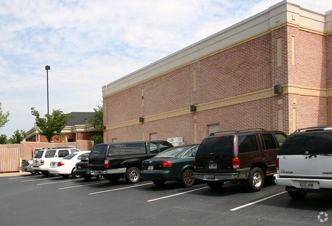
5315 Windward Pky
22-5280-1120-016-3
Pioneer Real Estate Dev I
Storebuilding
Fulton
X
Georgia
13121C0059F
1120
2024
1.06 AC
2025
Roswell/Alpharetta
011642
Atlanta
10,078 SF
Atlanta-Sandy Springs-Roswell, GA
DEMOGRAPHICS near 5315 Windward Pky
1 Mile
3 Mile
5 Mile
2024 Total Population
8,164
65,527
164,169
2029 Population
8,351
68,583
171,032
Pop Growth 2024-2029
+ 2.29%
+ 4.66%
+ 4.18%
Average Age
39
38
38
2024 Total Households
3,363
25,353
59,186
HH Growth 2024-2029
+ 2.32%
+ 4.48%
+ 4.24%
Median Household Inc
$106,065
$118,982
$133,214
Avg Household Size
2.40
2.50
2.70
2024 Avg HH Vehicles
2.00
2.00
2.00
Median Home Value
$354,222
$477,143
$482,967
Median Year Built
1994
1997
1995
Nearby Places
Map Layers
Map Styles
 Street
 Aerial
- Restaurants
- Banks
- Shops
- Fitness
- Groceries
PUBLIC TRANSPORTATION
AIRPORT
Hartsfield - Jackson Atlanta International
DRIVE
WALK
Distance
Hartsfield - Jackson Atlanta International
51 min
36.8 mi
SALE & LEASE HISTORY
LISTING DATE
SALE/LEASE

Feb 08, 2017
For Lease
Nearby Properties
Address
Land Use
TOTAL SIZE
Lot Size
Zoning
Address
Land Use
TOTAL SIZE
Lot Size
Zoning
1,080,765 SF
36.65 AC
MIX
Address
Land Use
TOTAL SIZE
Lot Size
Zoning
14,832,179 SF
50.89 AC
OI
Address
Land Use
TOTAL SIZE
Lot Size
Zoning
383,859 SF
9.55 AC
CBD
Address
Land Use
TOTAL SIZE
Lot Size
Zoning
699,024 SF
6.79 AC
MIX
Address
Land Use
TOTAL SIZE
Lot Size
Zoning
4,519,676 SF
29 AC
AC
Address
Land Use
TOTAL SIZE
Lot Size
Zoning
4,705,880 SF
8.55 AC
OI
Address
Land Use
TOTAL SIZE
Lot Size
Zoning
5,168,439 SF
45 AC
AC
Address
Land Use
TOTAL SIZE
Lot Size
Zoning
3,459,339 SF
26.51 AC
OI
Address
Land Use
TOTAL SIZE
Lot Size
Zoning
330,549 SF
68.46 AC
CUP
Address
Land Use
TOTAL SIZE
Lot Size
Zoning
434,804 SF
4.96 AC
Address
Land Use
TOTAL SIZE
Lot Size
Zoning
3,617,271 SF
29 AC
CUP
Address
Land Use
TOTAL SIZE
Lot Size
Zoning
604,953 SF
3.30 AC
MIX
Address
Land Use
TOTAL SIZE
Lot Size
Zoning
241,349 SF
35 AC
OI
Address
Land Use
TOTAL SIZE
Lot Size
Zoning
997,824 SF
32.63 AC
CUP
Address
Land Use
TOTAL SIZE
Lot Size
Zoning
303,485 SF
1.44 AC
C2
Address
Land Use
TOTAL SIZE
Lot Size
Zoning
3,966,282 SF
25.68 AC
R4
Address
Land Use
TOTAL SIZE
Lot Size
Zoning
2,308,770 SF
32 AC
C1C
Address
Land Use
TOTAL SIZE
Lot Size
Zoning
311,452 SF
29.19 AC
CUP
Address
Land Use
TOTAL SIZE
Lot Size
Zoning
9.04 AC
CBD
Address
Land Use
TOTAL SIZE
Lot Size
Zoning
247,639 SF
0.68 AC
MIX
Address
Land Use
TOTAL SIZE
Lot Size
Zoning
56,313 SF
13.37 AC
MP
Address
Land Use
TOTAL SIZE
Lot Size
Zoning
761,850 SF
4.77 AC
OI
Address
Land Use
TOTAL SIZE
Lot Size
Zoning
2,045,850 SF
21.23 AC
CUP
Address
Land Use
TOTAL SIZE
Lot Size
Zoning
308,494 SF
2.64 AC
OI
Address
Land Use
TOTAL SIZE
Lot Size
Zoning
1,854,951 SF
33.30 AC
CUP
Address
Land Use
TOTAL SIZE
Lot Size
Zoning
3,363,714 SF
19.89 AC
TRCON
Address
Land Use
TOTAL SIZE
Lot Size
Zoning
550,076 SF
45.25 AC
OIC
Address
Land Use
TOTAL SIZE
Lot Size
Zoning
2,101,414 SF
11 AC
CUP
Address
Land Use
TOTAL SIZE
Lot Size
Zoning
2,480,205 SF
37.86 AC
C1
Address
Land Use
TOTAL SIZE
Lot Size
Zoning
588,244 SF
11.80 AC
R4
The World's #1 Commercial Real Estate Marketplace
Connect with us
© 2026 CoStar Group
The information above has been obtained from sources believed reliable. While we do not doubt its accuracy we have not verified it and make no guarantee, warranty or representation about it. It is your responsibility to independently confirm its accuracy and completeness. Any projections, opinions, assumptions, or estimates used are for example only and do not represent the current or future performance of the property. The value of this transaction to you depends on tax and other factors which should be evaluated by your tax, financial, and legal advisors. You and your advisors should conduct a careful, independent investigation of the property to determine to your satisfaction the suitability of the property for your needs.